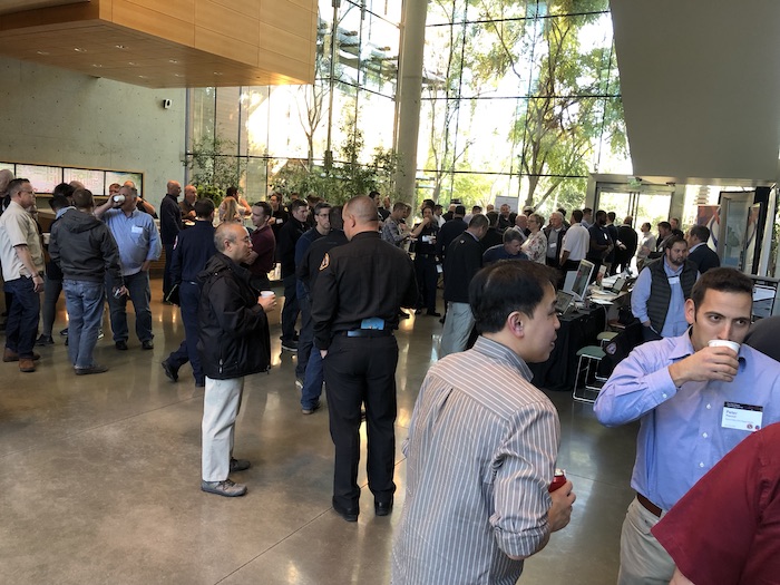
MySafe:LA Executive Officer attended the 2019 ESRI GIS conference along with fire officers from throughout the State of California. ESRI, which stands for Environmental Systems Research Institute has been actively working to develop a comprehensive set of data that may be used in multiple segments of society for improving outcomes, operations, and historical tracking.
Formed in 1969 by Jack and Laura Dangermond, ESRI and its ArcGIS suite of products are now known as the leader in GIS mapping and data management throughout the world. “The ESRI user conference is a separate event, which last year had more than 18,000 people from around the world attend,” noted MySafe:LA XO David Barrett. “This smaller event is specific to the fire service, and is an essential function in making inroads into data management before, during, and after significant incidents.”
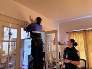
Because MySafe:LA utilizes data relevant to its smoke alarm installations, as well as for upcoming community resilience activities, it’s essential that the organization be exposed to and learn about the latest trends in data management and mapping.